5 South Main Street
P.O. Box 1165
Parowan, Utah 84761
Phone: 435-477-8190
Hours: Monday - Saturday 10:00 AM - 5:00 PM
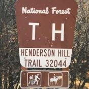
STRENUOUS | 3.5 MILES (7.0 RT) | SPRING-FALL | OUT & BACK
This hike is very steep. The elevation change is approximately 2,000 feet and can be challenging for less advanced hikers. First named by Hiram Ackley Hendrickson, on Valentine’s Day, and suggested as a lasting name by Mayor Howard Joseph on February 4, 1959. In 2013, Vittorio Locatelli, a community volunteer, adopted and began marking and improving a trail to the top by adding benches and other amenities along the way. Completed in 2019, this trail provides stunning views of the Parowan Valley as it winds up to the peak and back. Trailhead is located at the Parowan Cemetery (834 Canyon Road).

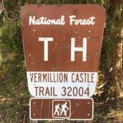
MODERATE/STRENUOUS | 2 MILES | SPRING-FALL | OUT & BACK
The trail is primarily used for hiking, nature trips, and bird watching and is best used from March until October. Use caution as the trail climbs steeply to a ridge spine and continues to a massive red rock cliff. The trail then crosses a side hill until it comes out to a large flat rock platform with breathtaking views directly into Vermillion Castle and across the canyon to Noah’s Ark. Dogs are able to use the trail but must be kept on leash. Trailhead is 1.4 miles E. on Yankee Meadow Road/First Left Hand Canyon from SR-143.

